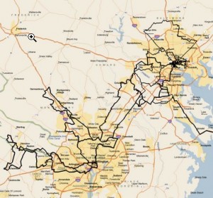
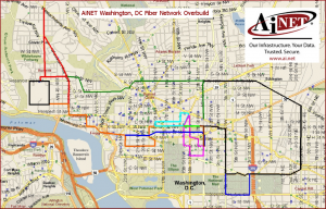
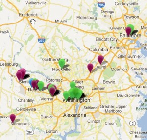
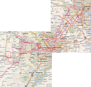
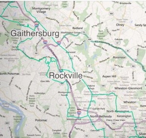
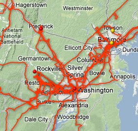
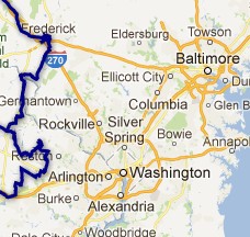
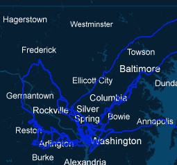
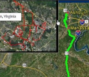
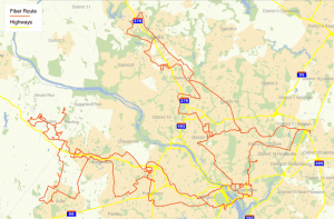
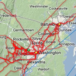
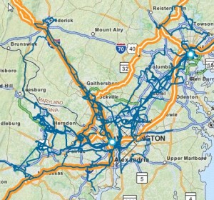
After touring network maps side by side over in the UK and Scandinavia earlier this month, I decided to evolve the idea further but with US metro network maps. As it works best for the largest metro markets with recognizable geographies, I thought I’d try looking at the combined Ashburn/DC Metro/Baltimore region – for which I have a dozen.
Providers with substantial assets that aren’t featured here include the three giant ILECs (Verizon, AT&T, CenturyLink) plus XO. I’m not deliberately excluding them, I just don’t have any maps of their assets in the region – yet. However, we do have map images from tw telecom (yay!) and Windstream (via the Intellifiber website, which is still functional). Lumos only hits Ashburn from the west & north and Summit IG from the south, but each seemed like it ought to be there. For FiberLight, I had to assemble the snapshot from their Ashburn and Baltimore maps to get an overall view – though they have some downtown in DC not captured by this method.
Zayo consolidated a bunch of the region’s fiber with the AboveNet, FiberGate, and LiteCast acquisitions last year, but clearly there are still quite a few competitive fiber footprints in this region with a lot of depth as well as several independent, unconsolidated assets. They are not entirely independent of course, as operators fill in their footprint via others’ dark fiber. But it gives a sense of the relative depth in this market each of these providers has overall, as well as places where uniqueness lies.
If you haven't already, please take our Reader Survey! Just 3 questions to help us better understand who is reading Telecom Ramblings so we can serve you better!
Categories: Metro fiber


I’m sure they did it after this post, but Windstream now has a real interactive fiber map now.
Ah, I do see that now, thanks for the heads up. I have updated Windstream’s entry here to use their new interactive fiber map instead.
What about 24/7 Midatlantic?
Sorry, Just saw it